GRR3 Trek : discover Mafate (Reunion)
Find in this article our GRR3 trek’s details, a 4 days hike in Mafate. Walking indications, bivouac ideas or sleeping in a lodge and other information on this trek. Be sure to deconnect from your daily life in the “Inhabited Heart” of Reunion Island, the island’s National Park and Unesco World Heritage since 2010.
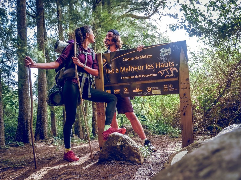
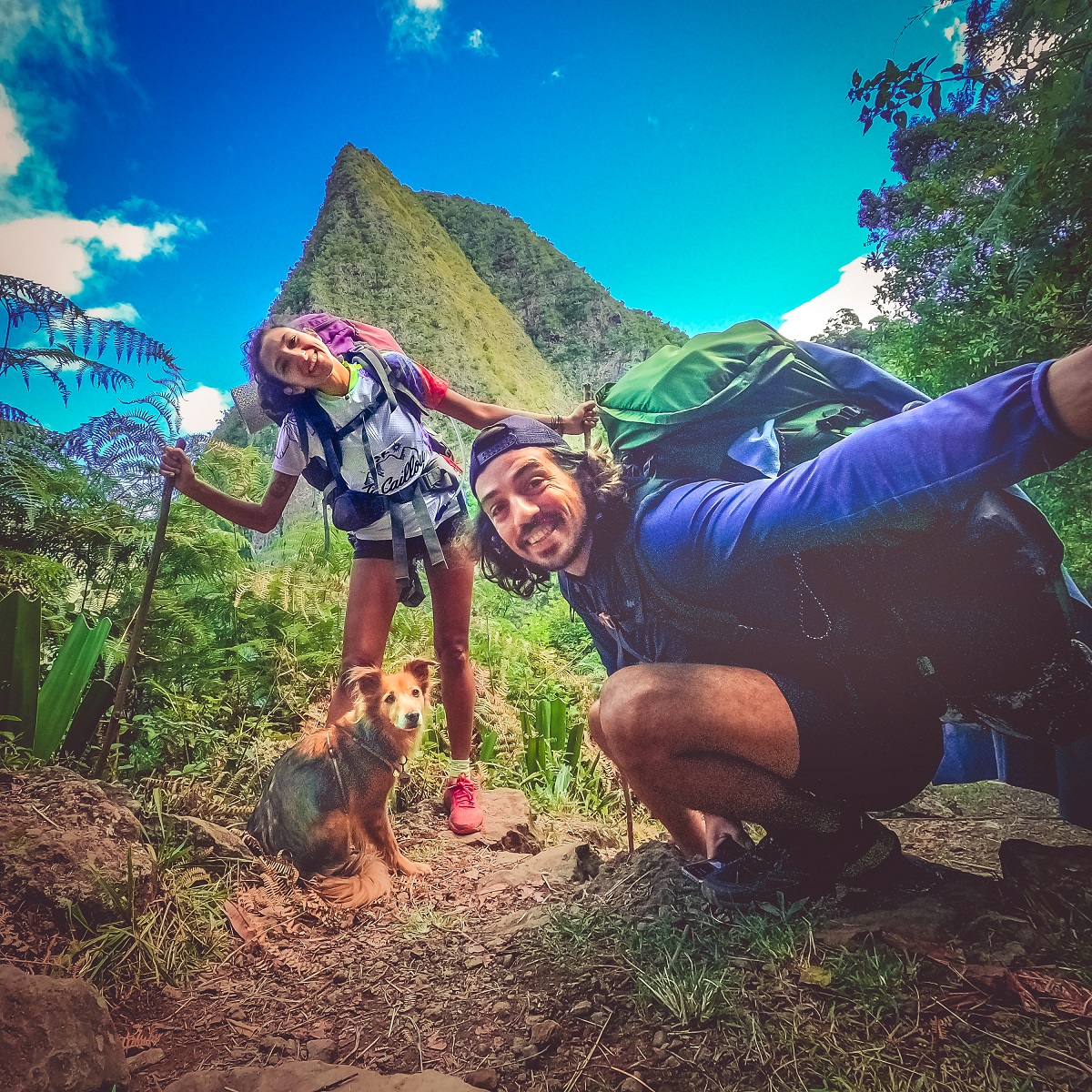
After GRR1 et GRR2, we’ve just achieved the 3rd GR of the island, the GRR3 trek.
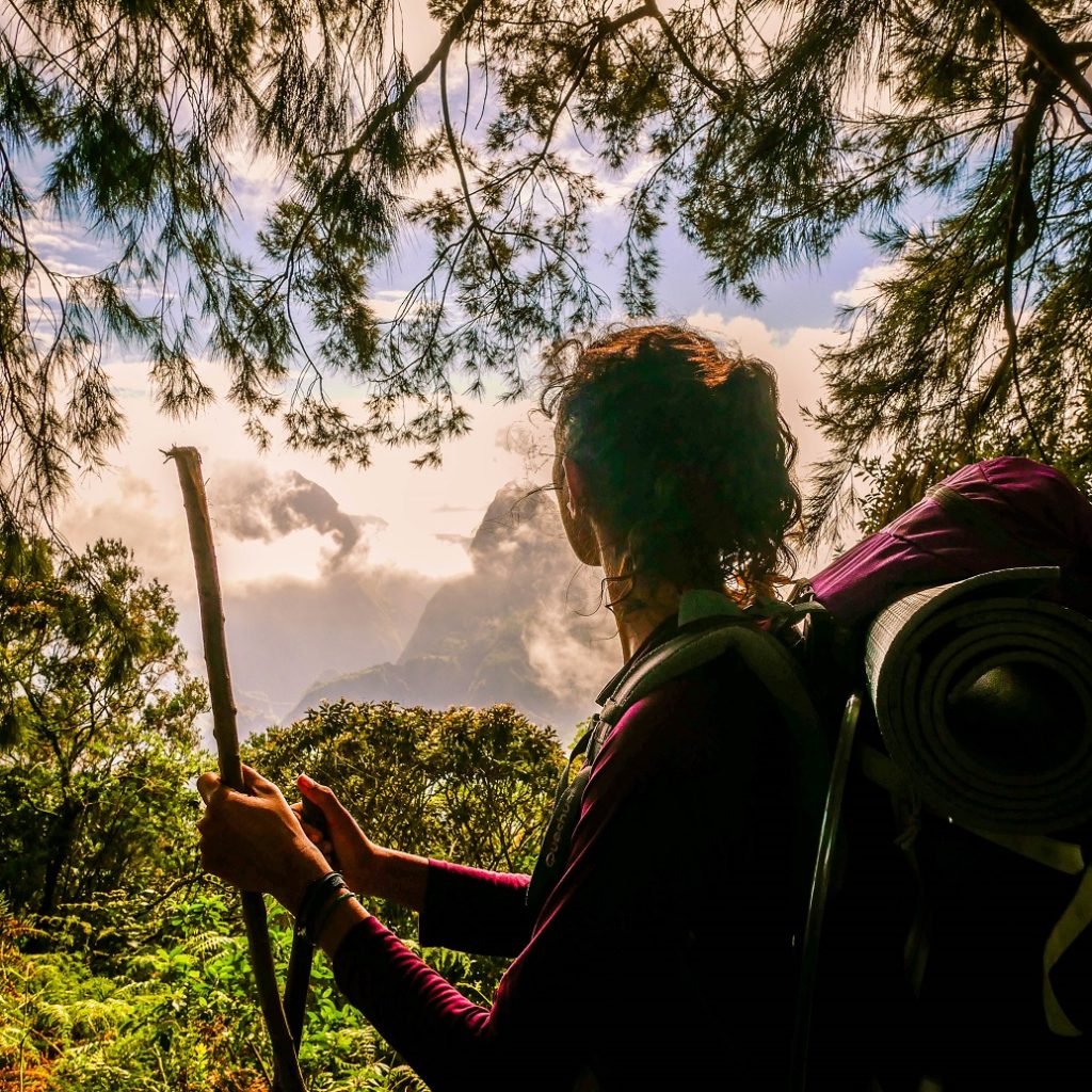
GRR3 trek, hike in Mafate
We did the GRR3 over 4 days, 3 nights sleeping in tent (bivouac). In semi autonomy since we ate 2 evenings in gites. As it was our 12th couple birthday, we allowed ourselves a bit of luxury (eating warm and carrying a little less food). Indeed, we did it at the beginning of July, in winter.
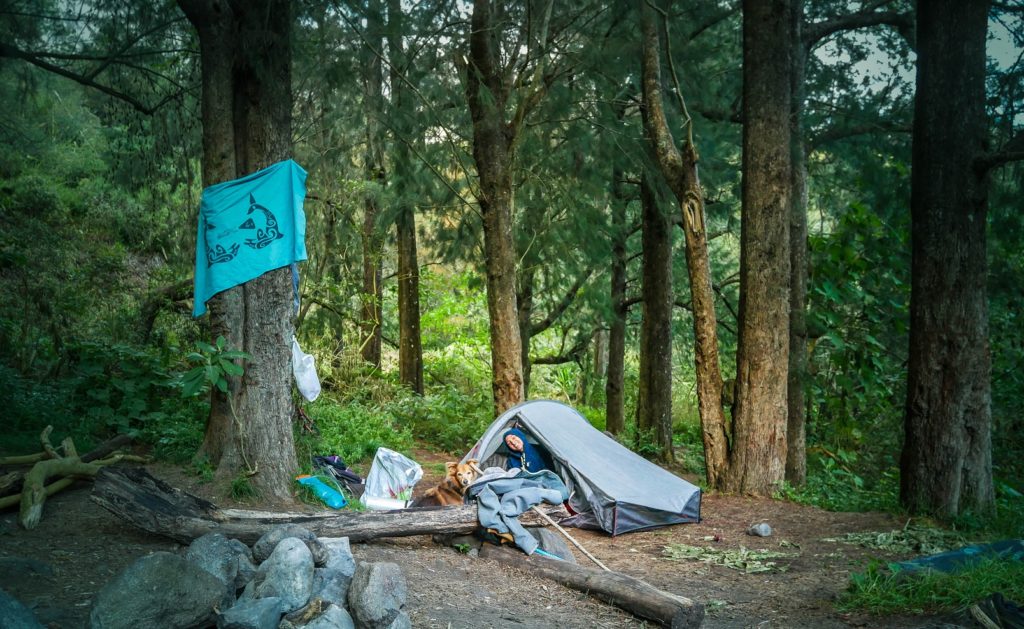
BIVOUAC – As a reminder, bivouac is: install your tent in the last light of the day (or at nightfall) and repack it the early morning. Do not make fire if there is no special place for it and DO NOT leave anything there of course!
Basically come to sleep while disturbing as little as possible and without leaving traces of your passage.
In general, we install our tent just before or after villages not to disturb the inhabitants.
GRR3 in General
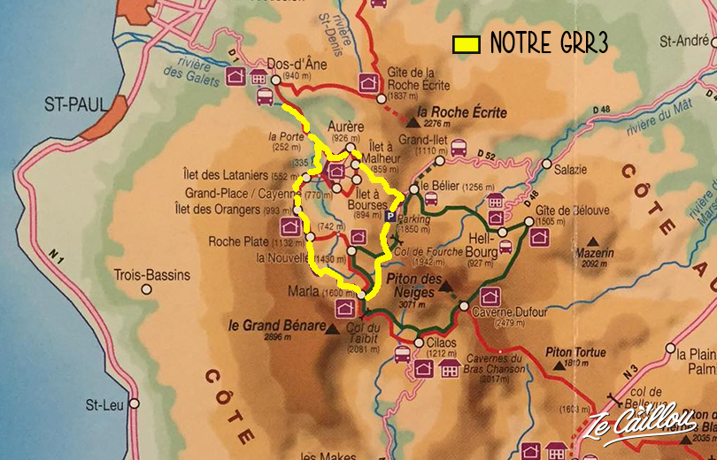
GRR3 is the trek in Reunion Island that goes all around Mafate.
It is the only cirque of the island that is accessible only by foot or helicopter.
- Km: a 40 km loop from Col des Bœufs (Salazie) and about 50 km from 2 Bras (La Possession).
- Elevation high/down: almost 3 000 m+ (2930) and down (2900m-)
- Signs: 2 traits (1 red and 1 white)
- Best periods: September-November or April-May. Nights are cooler than in summer, but days are pleasant and there is less chance of rain.
GRR3 trek: our steps
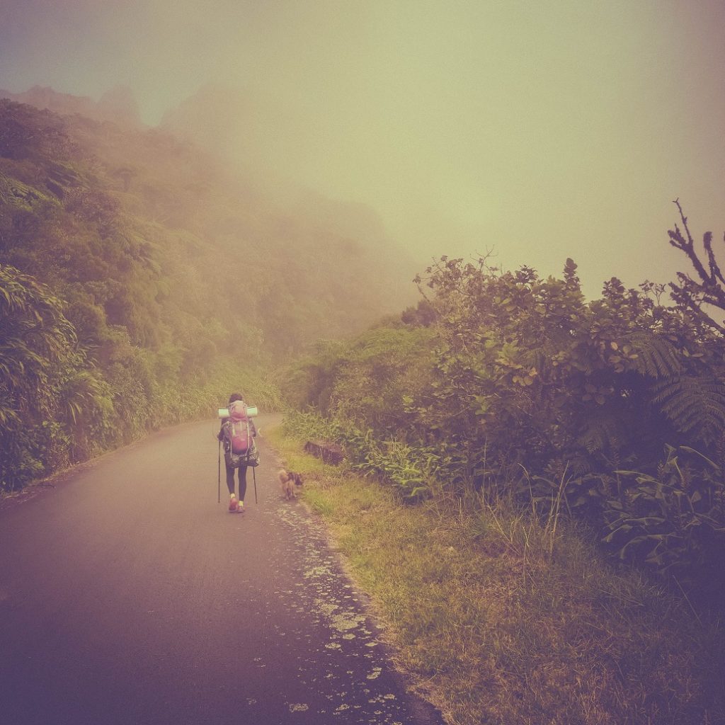
Having heavy bags (between 15 and 17kg, see the content of our bag here), we decided to do it in 4 days to have time to stop and enjoy Mafate. Count on average 5 hours of walking per day (the times below do not count the breaks, so allow 1 or 2 hours more per day).
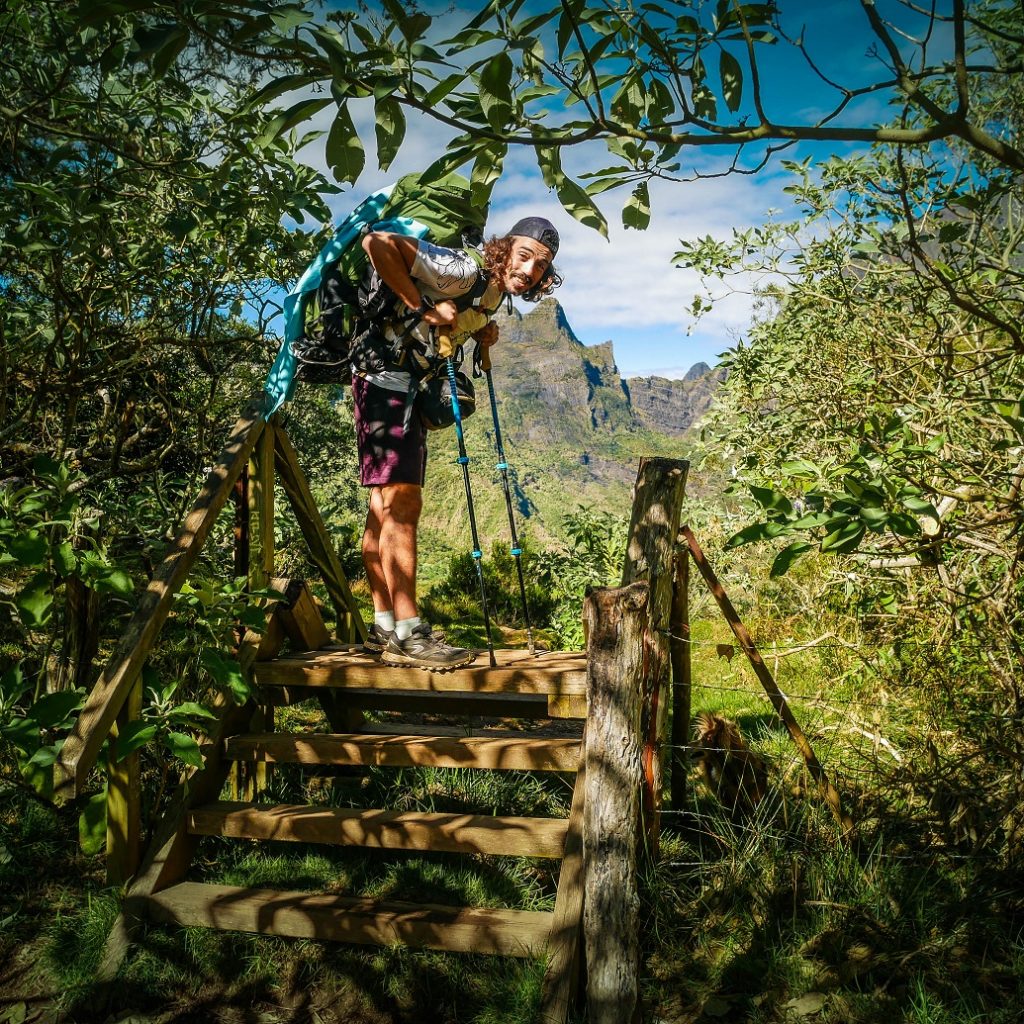
Step 1: 2 Bras > Roche Plate
5h30 for 14,53 km
Elevation high: 1160 m+ / 339 m-
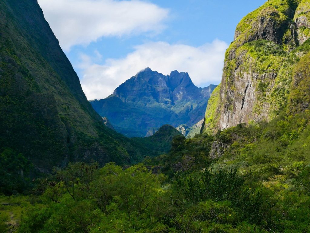
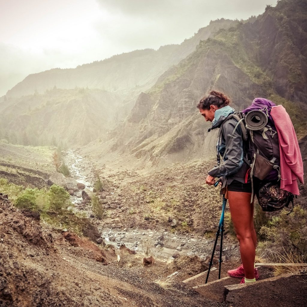
Certainly the hardest day as from Cayenne to Roche Plate you’ll only go up.
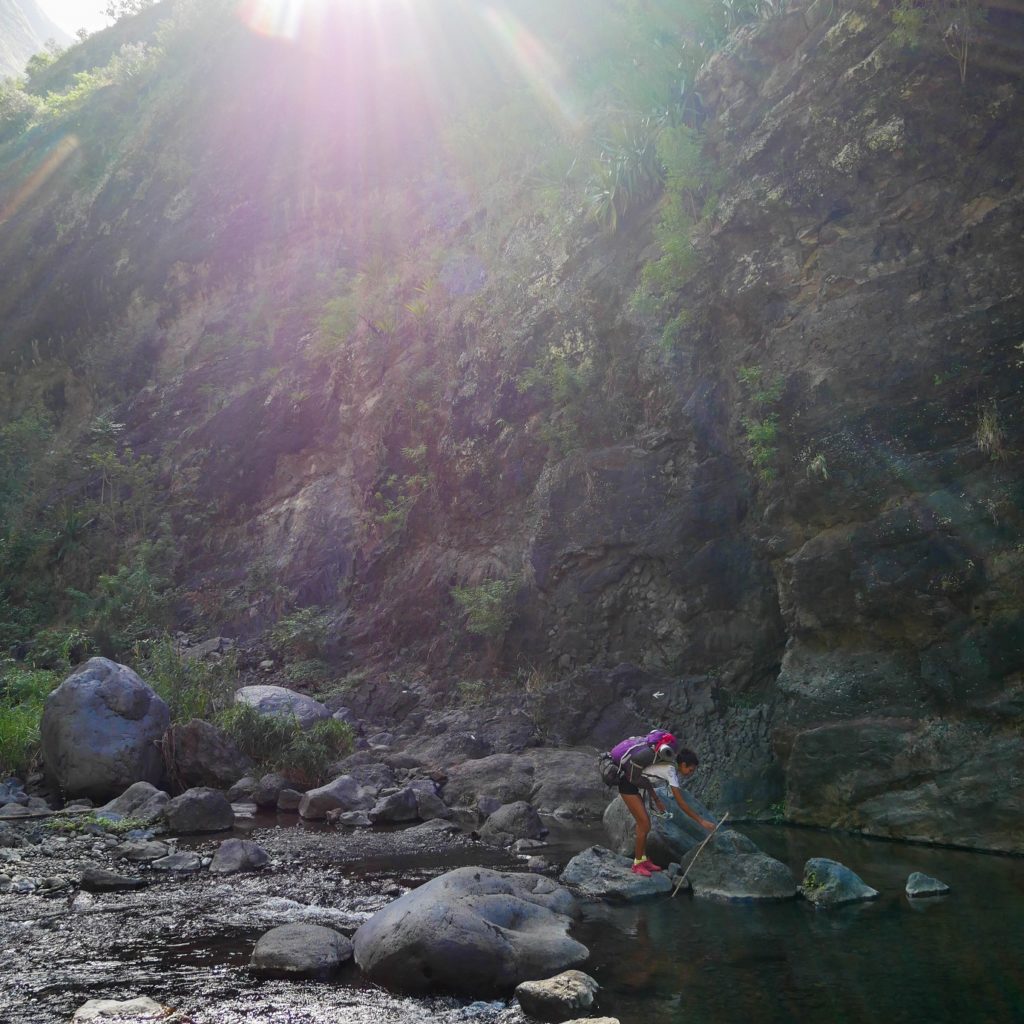
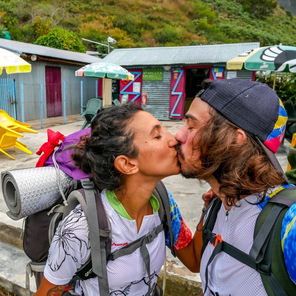
We meet our 4×4 at the Rivière des Galets (La Possession), to bring us to 2 Bras, where we start our GRR3 trek! It lasts about 20 mins (8€ to GO per person) for about 10km wakling in stones with many flooded passages (phone number to book a 4×4).
- Water: no problem for this 1st day. We can refill water direclty in the river, or at the different ilets (villages in Mafate, here: Lataniers, Orangers and Roche Plate).
- Bivouac spots: many spots possible for 1 tent and more.
Rivière des Galets to Cayenne
From 2 Bras to the bifurcation to Aurère, you can cross the flooded passages without getting your feet wet. Then, if you continue through the river up to Lataniers (to enjoy the Bras d’Oussy basin), you’ll have to take off you shoes. Or you can walk through Cayenne if you prefer. It’s bout 1h30 /2h for this stage.
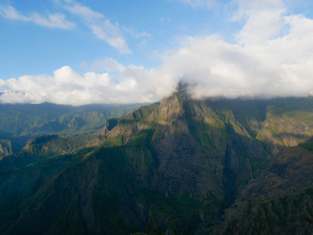
Then, once you leave behind you the river (or pass the Cayenne bridge), the ascension begins! Get used to it! But hopefully panoramas are gorgous.
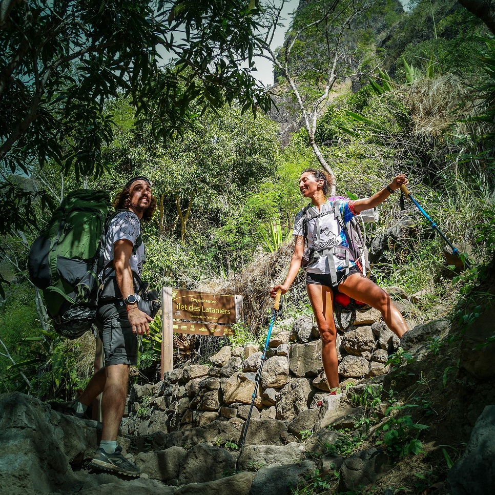
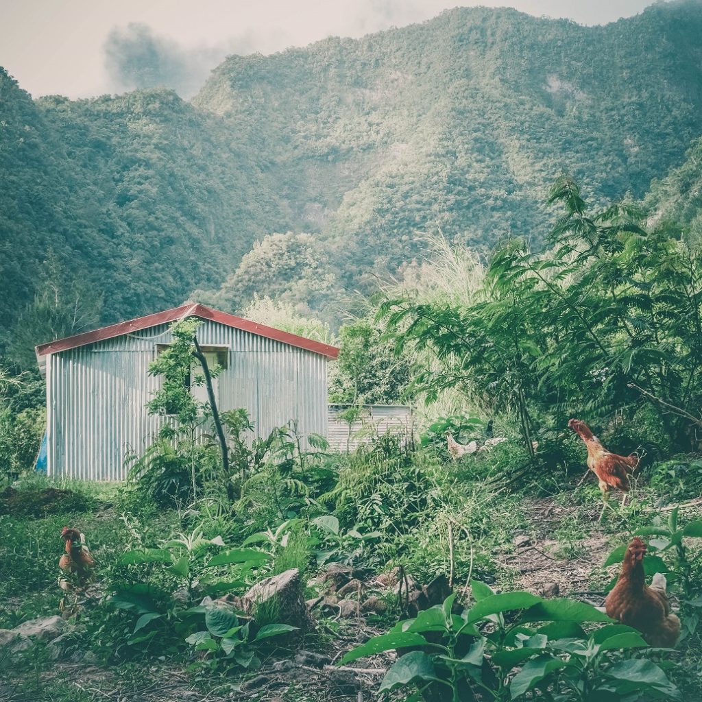
If you don’t know yet Mafate villages, we should make a stop to îlet des Lataniers, le captage Grand-Mère and l’îlet des Orangers. It’s still going up to a little food store at îlet aux Orangers les hauts (3rd picture)!
Go down and up to “La Brèche”
La Brèche is a bifurcation that continues to Roche Plate or goes up to Le Maïdo (but this session is closed now).
Afet the small grocery, you go down, and in Mafate, when you go down, it means you’ll have to climb again! But once you arrive at La Brèche, it goes down nicely to Roche Plate in 1/2h, 45 mins. Be more careful on this session, some passages are close to the gap.
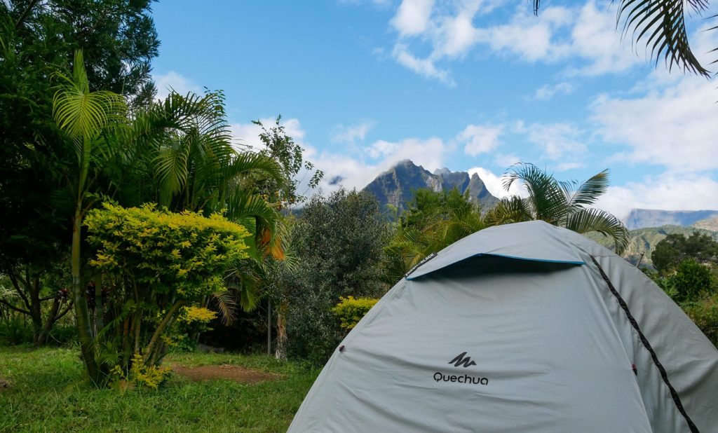
Bivouac in Roche Plate
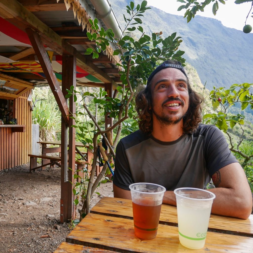
Here we are, we arrive at Roche Plate village. In general we sleep in tent just before or after the Ilet, but tonight, we will sleep at Judex gite (in tent too, but we have the dinner there). When you arrive, the 1st gite on your left.
We install our tent on a very nice grassed space and we have a perfect sunset on Mafate’s mountains. We feel like kings of the world!
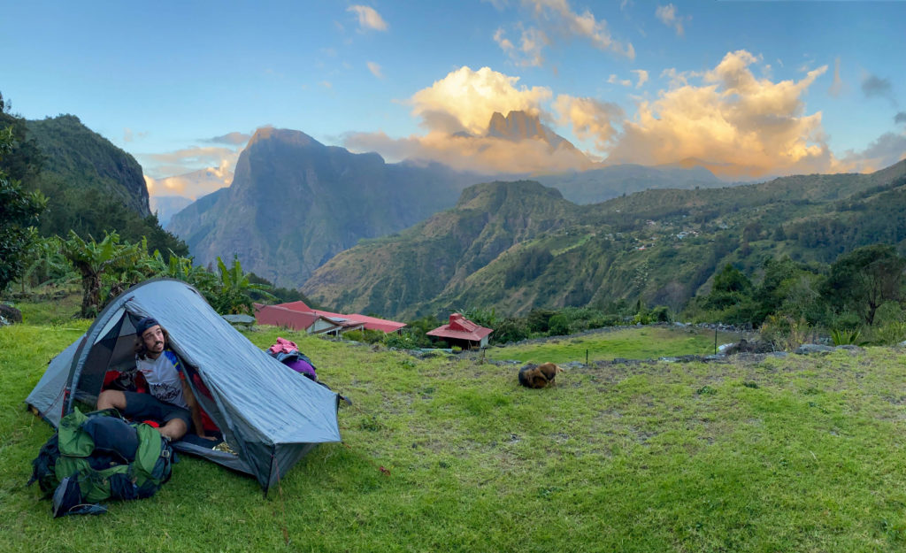
A shower, a beer, a good and hot meal and a great and starry sky like you can only enjoy in Mafate!
Step 2: Roche Plate > Maison Laclos
4h15 for 11,06 km
Elevation high: 867 m+ / 540 m-
Nice day, not very hard and with many cool stops! A great 2cd day!
- Water: it’s easy here too to fin water. We can refill directly in Trois Roches river or at Marla.
- Bivouac: many spots possible.
Let’s first go to Trois Roches
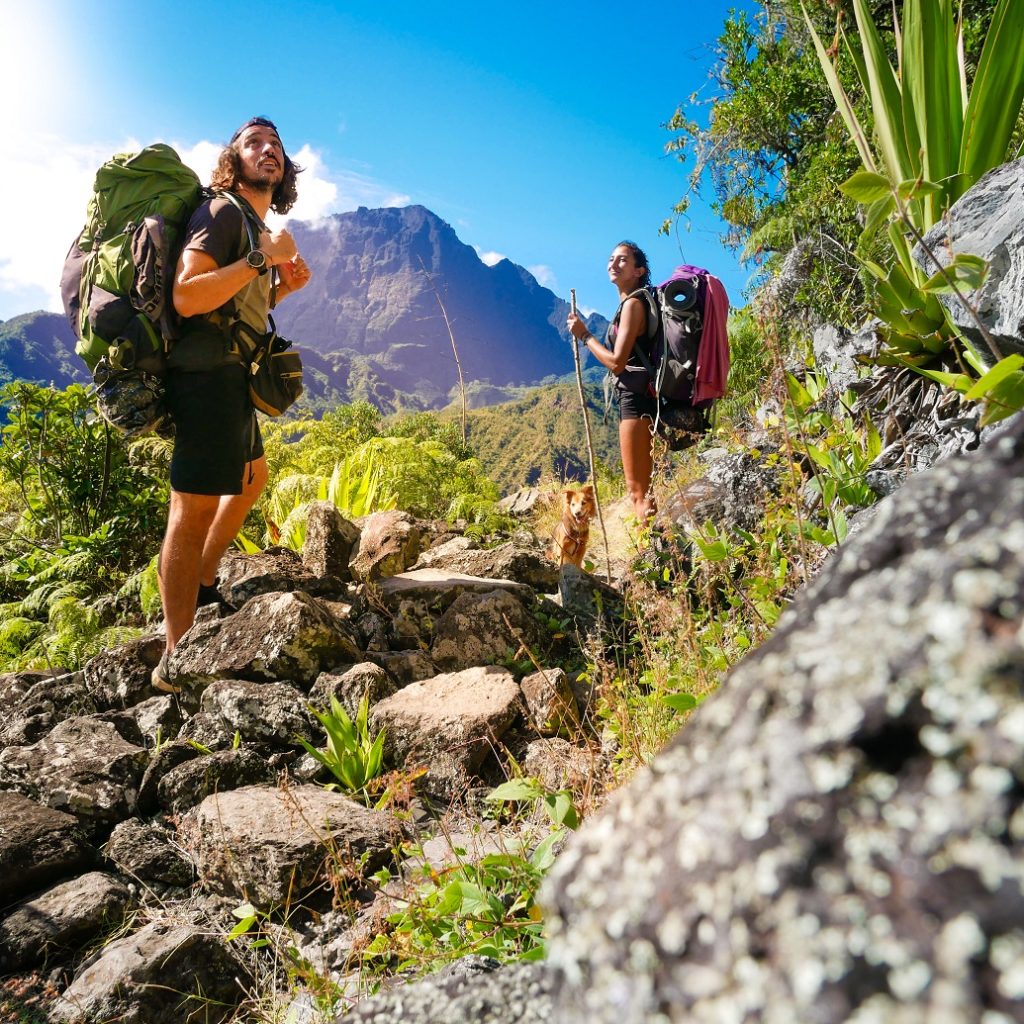
After a wake up as great as the night we had, we prepare ourselves to continue our GRR3 trek. We cross the Roche Plate ilet up to Trois Roches bifurcation (on your right). You can see the domages from the 2020 wildfire (from Maïdo). We haven’t come since then… And be prepared to go up to start your day!
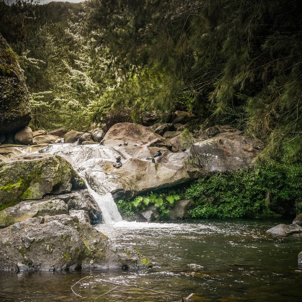
Up to Trois Roches, it’s going up, under the sun and there are so many wonderful points of view… on Marla and Gros Morne for exemple.
Just before arriving to Trois Roches waterfall, we make a stop at Trois Roches Tisanerie (herbal tea shop) to have a good and fresh homemade limonade. There are also sugar and salty pancakes and the place is realy cool with many fruit trees.
Trois Roches > Marla
After the lunch break at Trois Roches, we begin to walk towards Marla. We follow the river, we go up and down, until the last ford before the final ascent. But it’s not that tough and it is easy to get to Marla.
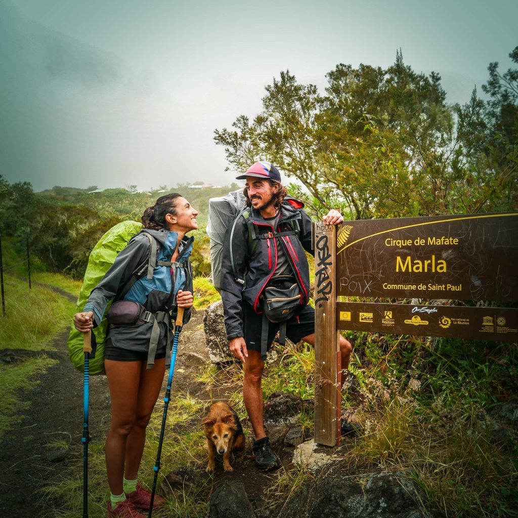
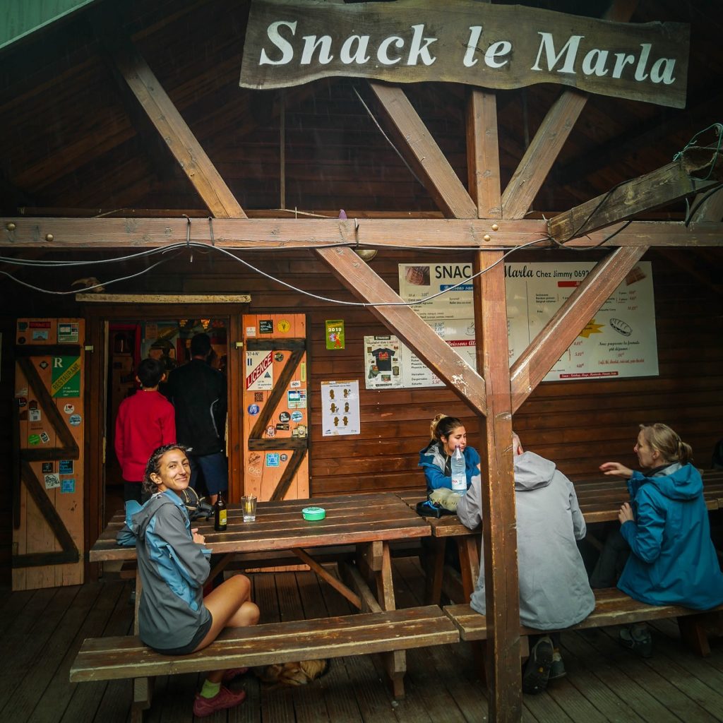
We go past the honey house and the 1st gites to go to the famous “Snack le Marla” (WC and water). We stop for a bit to chat with other hikers and to enjoy a well-deserved little beer. Then it’s the last straight line to our bivouac spot towards Maison Laclos (direction La Nouvelle). Another magical evening near the water, under Mafate’ sky.
Step 3 : Maison Laclos > Aurère
5h45 for 17,23 km
Elevation high/down: 807 m+ / 1316 m-
It’s not the hardest day, but the longest!
- Water: there is a small shop at Col des Bœufs’parking, also at îlet à Malheur and a faucet at Aurère.
- Bivouac: some good spots (plaine des Tamarins, Col des Bœufs but high, and before Aurère…).
Let’s climb to Col des Bœufs
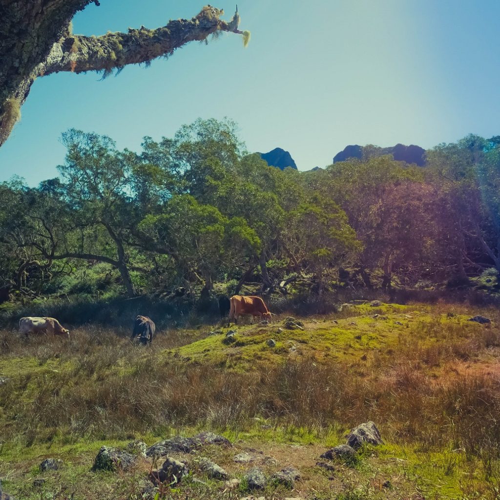
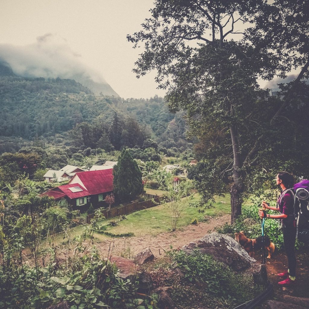
After a fresh swim in the river and breakfast, we start the ascent to the Col des Bœufs. Most of the elevation gain of the day. We arrive on a large, grassy plateau with cows, it feels like a France. It is the Plaine des Tamarins, in front and behind, superb panoramas.
Then it goes up and boards help to avoid the mud. After a good climb, we arrive at Col des Bœufs, superb view of Mafate and Marla from where we arrive. It seems so far …
Head for Sentier Scout path
We picnic at a kiosk after the paid parking lot at Col des Bœufs and we set off again on the road towards the Sentier Scout start, that we reach quite quickly.
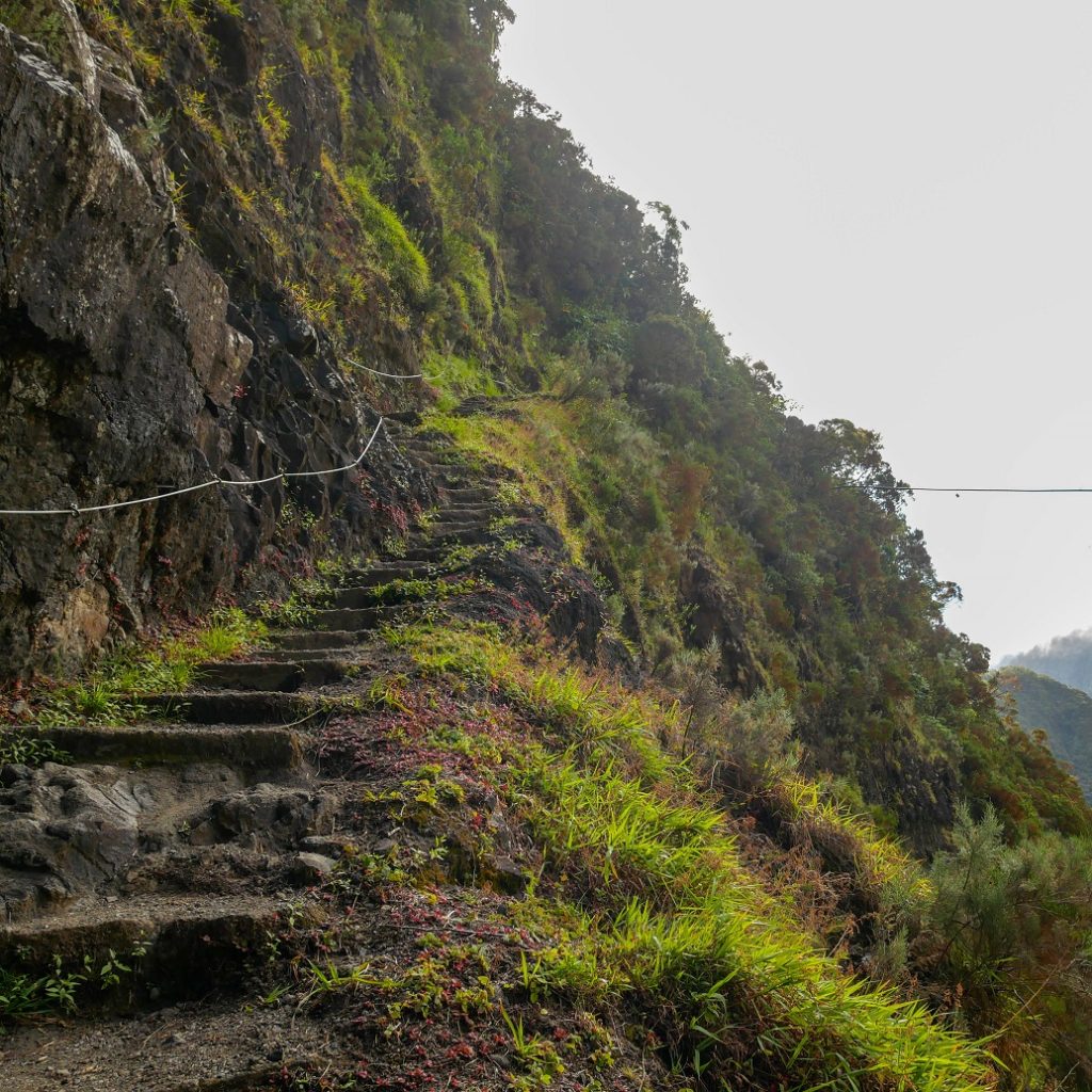
Let’s go for a big descent to Ilet à Malheur, almost all the negative elevation. We are happy to have our walking poles. On our right, we see Sentier Augustave and after a small but good steep climb, a little vertiginous, we arrive at Deux Fesses, a ridge with a superb 360 ° panorama.
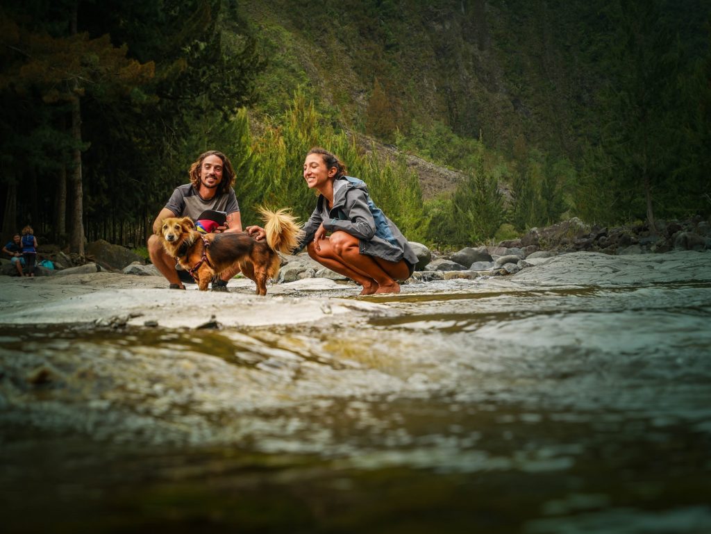
We continue and we start to have a view of Piton Cabris above Aurère. This is where we go and once again, it looks far away! We arrive under the filaos trees, it goes down to Ilet à Malheur les Hauts. We turn right after a while to reach Ilet à Malheur, passing through places covered with vegetables.
Ilet à Malheur > Aurère, here we are!
We go past the village, its pretty flowered alley, its church, the campsite, the school … we stay on the main path (not to the right towards the Bassin La Noix, which we like a lot). And we choose the fast path to go up to Aurère, fast, but steep, last big sweat!
Bad choice, the gite where we stay was on the other path! ahah, it’s ok, just 5 mins longer!
We arrive at Bonne Terre camping, we install our tent, take a hot shower and it’s Apero time! We are alone tonight, but our host stays a good moment with us at dinner time! Again, a great great day!
Step 4 : Aurère > 2 Bras
2h30 for 7,85 km
Elevation high/down: 93 m+ / 699 m-
We keep the easiest for the end, 2h30 of walking.
- Water: at Aurère or in the river.
- Bivouac : some spots but after Cayenne or close to the river.
Today, since we don’t have much walking, we take our time. Before starting the descent, we cross the village of Aurère and stop at the bakery, ‘Les délices de Cassie”, a mandatory stopover when we pass by. After a generous breakfast (yep, there were Goyavier croissants), let’s go for a good 2 hours of descent .
No, it’s almost over!
Arrived at the Rivière des Galets, we cross the 1st ford to reach a mini hidden beach (you have to pass between trees). We know that we have barely 15 mins of walking left and almost 2 hours before our meeting with the 4×4. So we take the opportunity to swim, bask in the sun and have lunch. Perfect!
We then reach the 2 Bras car park. In 2 days it’s holidays, so there are many helicopters that come to supply Mafate’s gites! We embark in the dumpster and that marks the end of our GRR3 trek in Reunion Island!


Again, a great adventure on our Caillou (stone) that we won’t stop to discover day after days! We hope you liked this article and that it has been usefull for you.
Do not hesitate to follow us on Facebook or Instagram to know all our adventures and good ideas to discover La Reunion!
Be First to Comment