GRR2 Day 1 from North to South
Saint-Denis (Camp Mamode) > Dos d’âne
- Duration: 5h40
- Distance: 13,72 km
- High elevation: 878 m high / 942 m down
- Markings: Bon
- How is the path: Good, the portion between Roche Ecrite gite and Dos d’Âne has even been restaured at the time we did the GRR2.
GRR2 Day 1: Start from Camp Mamode
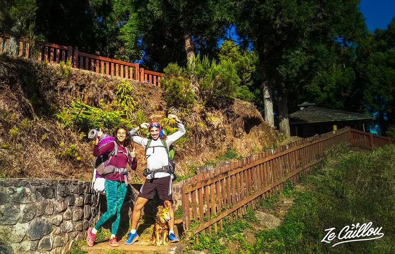
For this GRR2 Day 1 we decide to start from Camp Mamode. Indeed, the path from La Providence (city) was not that fun. And furthermore, we decide to hike up to Dos d’âne not to sleep with our tent at Roche Ecrite at its 1800 meters high in winter (the past week, the lower temperature of the year for the Island was here… with minus -3°C).
1/2) Camp Mamode > Roche Ecrite’s gite
Start from Mamode Camp:
- Water: Yes
- Bivouac: Yes
- 5km and 700 meters high up to the Roche Ecrite’s gite.
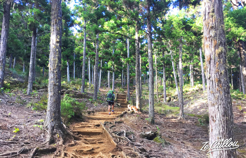
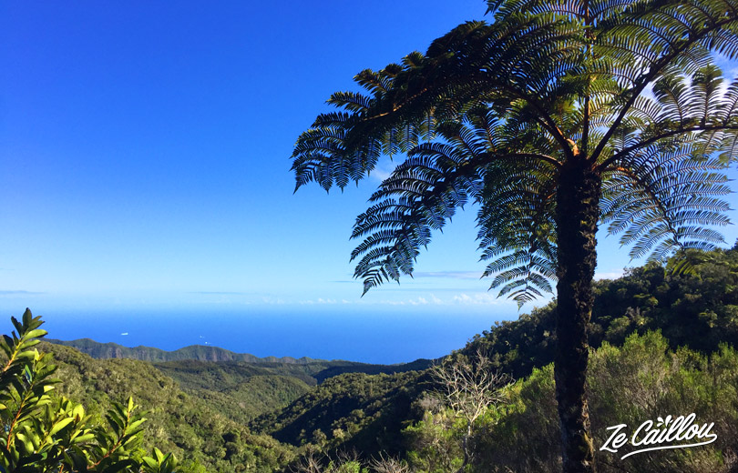
This portion is almost always with shadow and the meters high up to the gite is progressive. The path is very nice, very lush and a great sea view. Plus, we walk with birdsong!
2/2 Roche Ecrite’s > Dos d’Âne
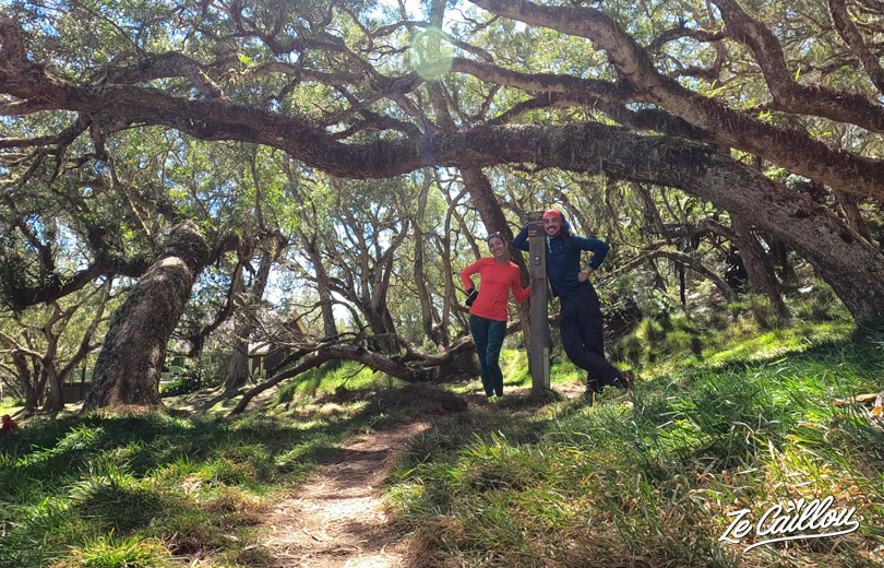
We arrive to Roche Ecrite’s gite (or La Plaine des Chicots’s gite, it is the same). The landscape is really beautiful and we are under the trees, perfect to have a lunch break!
- Water: Yes
- Bivouac: Yes (not close to the gite, it’s forbidden, but on your left, 5 / 10 minutes after when you continu in direction of Dos d’Âne). Really nice but also humid.
YOU CAN GO TO ROCHE ECRITE’S POINT OF VIEW
Approx. 2h30 way and back (we’ll soon write an other article about this portion!).
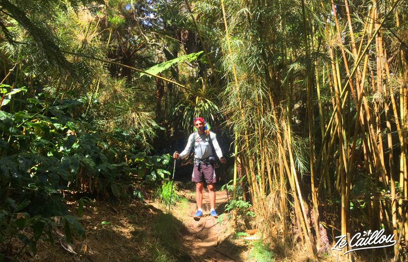
Up to Dos d’Âne, the walk is nice, with shadow and landscapes are great. Tropical forest, bambou forest, natural arches, a ridge with a Dos d’Ane view on your right and Mafate on your left… You will be amazed! It goes up and down, it’s a bit long, but it’s not too difficult.
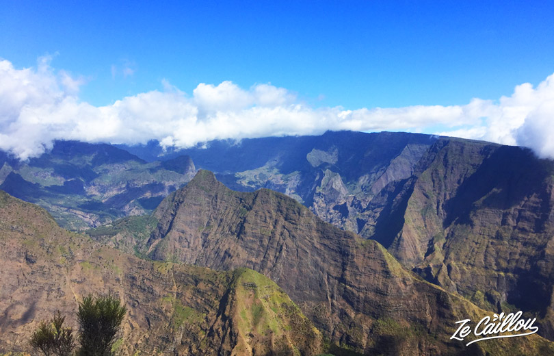
On the way, there are at least 2 bivouac spots … but for 1 tent only.
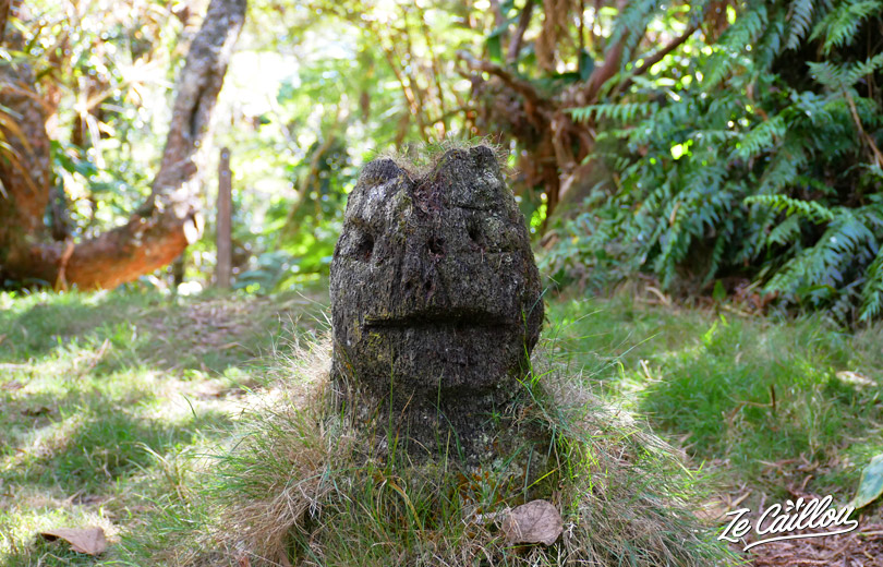
At one of the junctions, you can admire a small statue carved from a tree trunk. Continue towards Dos d’Âne, the path is increasingly drier.
When arriving at Dos d´Âne, we of course advise you to go through the kiosk (Cap vert Bouteille) for the view of Mafate. There are several scales but nothing difficult. Otherwise directly by the right path which leads to the car park.
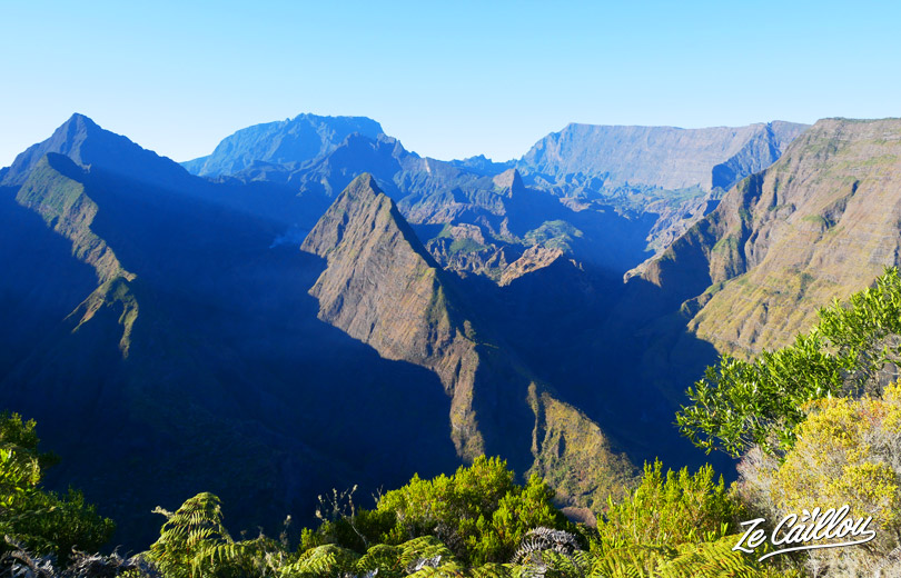
At Dos D’Âne parking
Water: NO but there is a trash can
Bivouac: Yes
Altitude: 1100 meters
At the end of the path, 2 possibilities to bivouac at Dos d’Âne:
- At the kiosk, there is a concrete slab. It’s a good shelter if it rains and you will enjoy a superb view when you wake up. But on a slab and you’ll certainly be disturbed by hikers who will come to enjoy the view in the early in the morning.
- Or in the picnic area in front of the parking lot. Several tents possible.
In both case, be discrete and put your tent at the last moment.
For your info, even if the weather is good, nights are humid. Your tent will certainly be wet in the morning.
Conclusion of our GRR2 day 1 in Reunion – Saint-Denis> Donkey:
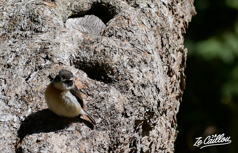
Superb day, not too difficult even if there was some high elevation. Often in the shade and accompanied by tek-tek, zoizo la Vierge and Tuit-tuit (a bird species which is endemic to this region of Reunion Island). Landscapes from Saint-Denis to Dos d’âne are great and the path well marked and in good condition.
That’s it for our 1st Day! Find now the detailed day 2 of our GRR2 trek in Reunion Island: Dos d’Âne > Aurere

Be First to Comment