GRR2 Day 2: Dos d’âne > Aurère, certainly the best hike in Reunion Island.
GRR2 Day 1, from North to South
Dos d’âne > Aurère (Mafate)
- Duration: 5h45
- Distance: 15,35 km
- High elevation: 815 meters high / 893 meters down
- Markings: Good / How is the path: Good
Dos d’Âne parking > start of the hike:
From Dos d’Âne’s parking, you’ll have to walk 3 km on the road to go to the hike’s start that goes to 2 Bras (west entrance of Mafate).
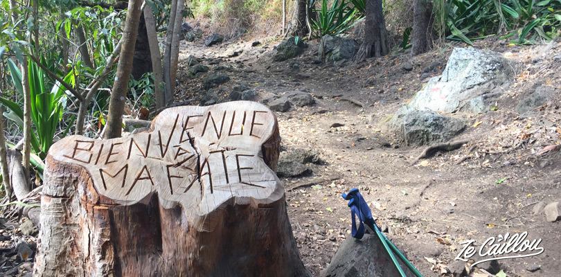
As we said before, there is no water from the parking to the start of the hike. But there is a little shop (un Vival) on your way.
- Water: NO
- Food: Yes, at the Vival little market, 3km down the parking. Less than 500 meters from the hike’s start to 2 Bras. Open every day except sunday, from 7 to 12am and from 3 am to 7pm.
When you arrive to the Vival (on your right), take the 1st on your left just after the right turn. After 100 meters, you’ll see a church on your left. Keep walking down, the hike’s start will be on your left, between houses, after about 200 meters.
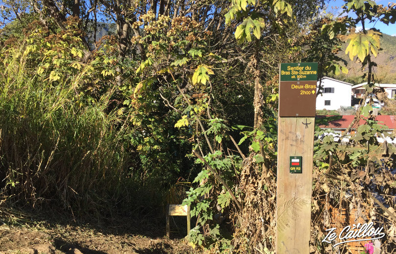
1/2) Start of the walk > 2 Bras (Mafate’s entrance)
This part of the walk is mostly going down and in the shade. Just a few slopes a some ladders, but nothing dangerous. However, there are a lot of dead leafs that can make the floor slippery. Sometimes we can see the “rivière des galets” and 2 Bras’s parking (it is where we go)!
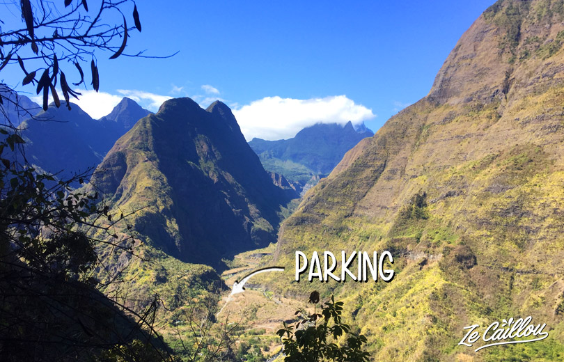
Before arriving at the Rivière des Galets, you will come across a sign on your right for a small gite which offers drinks and other supplies (not always open).
Once at the 4×4 parking lot (you’ll certainly cross triver once or twice depending on the path taken), continue towards the entrance to Mafate. Aurère is clearly signposted!
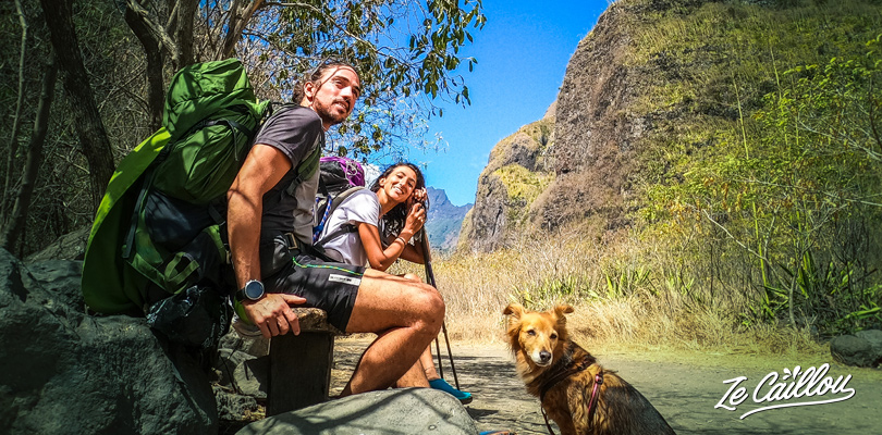
2/2) The climb: 2 Bras > Aurère
Personnellement nous avons fait une pause pique-nique et baignade dans la rivière des galets. Etant en tente pour 6 jours, nous nous sommes baignés dans chaque bassin croisé afin de garder un semblant d’hygiène !
Nous avons également rechargé nos camelback en eau dans la rivière.
Personally, we picnic and swim in the Rivière des Galets. Being in a tent for 6 days, we bathed in each river in order to keep a semblance of hygiene!
We also recharged our camelbacks with water in the river.
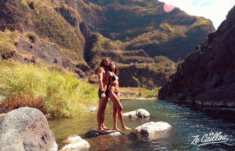
- Water: Yes (river water)
- Bivouac: Yes, many places to have 1 or more tentes.
In the Rivière des Galets, the walk towards Mafate is done in full sun. You will have to cross the river several times, but it is possible not to get your feet wet. Usually there are a lot of stones installed to cross the river and stay dry. Rest not to fall!
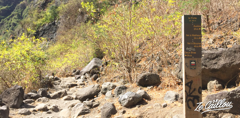
Once the climb begins, the path becomes half shade, half sun. Some guardrails are installed on the path. The climb to Aurere may seem long and difficult, but each to their own pace and everything will be fine.
Arrival at the junction “Aurère par le GRR2 or Aurère par le point de vue panoramique”, we took the 2nd choice in order to look for a small spot to put the tent down a little before arriving in the village.
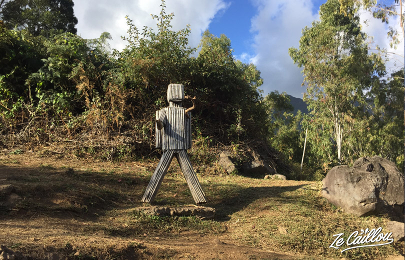
There are a few good spots for bivouac after Aurère, but we wanted to cross the village next morning to enjoy their great bakery!
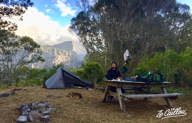
- Water: NO (but yes in Aurère)
- Bivouac: Yes. Altitude : 900 meters, for a tent with a picnic table at the point of view level (more spots after Aurère). Not to cold at night, neither humid…
Conclusion of this GRR2 day 2, one of the best hike in Reunion Island:
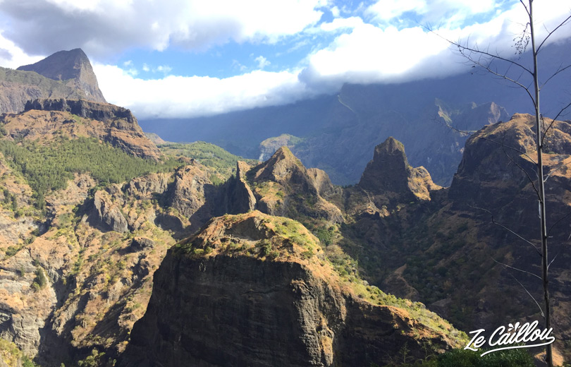
This 2nd stage of the GRR2, Dos d’âne> Aurère is very pleasant. The part up to 2 Bras is not the most beautiful of the hike but the entry into Mafate is always impressive! The swimming picnic, a pleasant moment to rest and enjoy the warm temperatures. Furthermore, the views during the ascent to Aurère are superb!
Next step: Aurère > Cayenne

Be First to Comment