GRR2 Day 4: Cayenne>Roche Plate, all details about this part of one of the best trek in Reunion island. Still walking in Mafate since day 2…
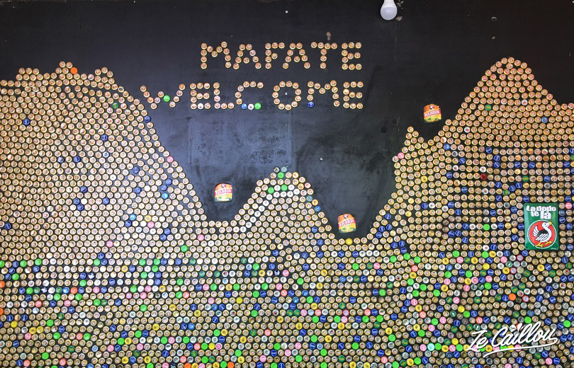
GRR2 Day 4 North to South
Cayenne > Roche Plate
- Duration: 4h40
- Distance: 10,26 km
- High Elevation: 1045 meters high / 439 meters down
- Markings: Good / How is the path: Good
1/3) Cayenne > Ilet de Lataniers
We start this new day with a good breakfast and a pretty view on Cayenne village and on La rivière des Galets.
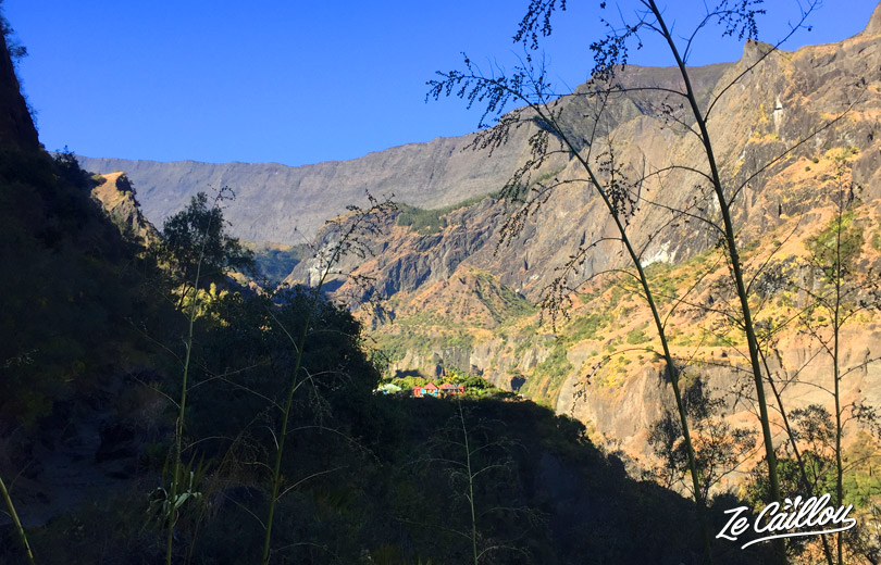
We then set off and descend to the large footbridge. You can go for a swim or fill your camelback if you take the right path before this footbridge. But by the time we pass it is completely in the shade, so we decide to continue.
It’s going up well and in full sun! Anyway from here you have to expect to climb. At the next fork, on the left you enter the village of Lataniers.
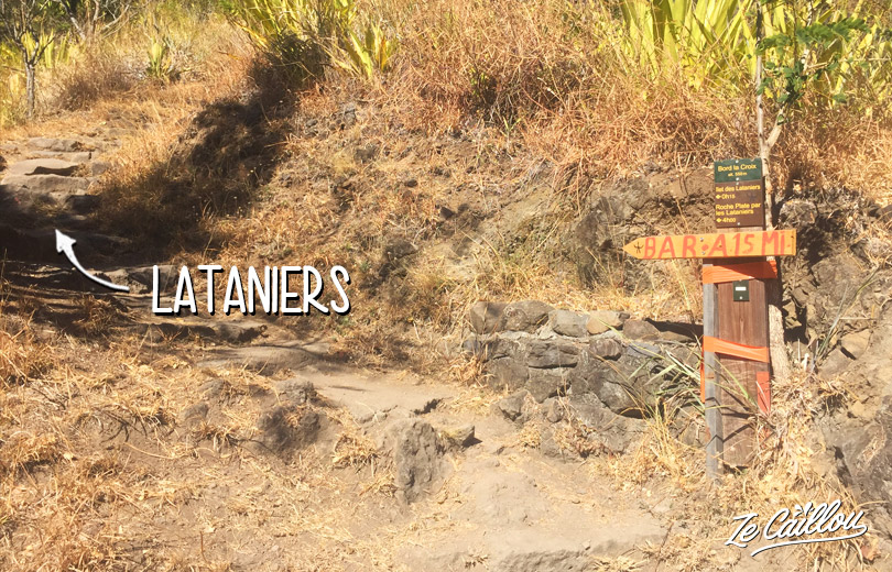
On the right we go around it to go directly to Les Orangers. We take the left path because we have almost no more water.
On the right, it is possible to bivouac with 1 or 2 tents max.
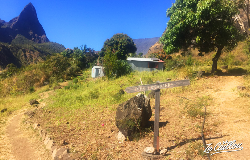
- Water: Yes, when you enter in the village, continue straight after the bar. A few meters before the point of view (no camping) take a small path on your left. There is water here, it’s a camping spot with BBQ (not for free).
- Bivouac: Yes (read above).
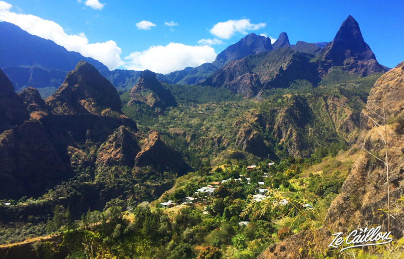
2/3) Ilet des Lataniers > La Brèche
Through Ilet des Orangers and La Brèche
There are 2 other possibilities to bivouac between the Lataniers and Orangers. You can also swim at the dam, which we did of course (there is a very small pool just after but it was in the shade)!
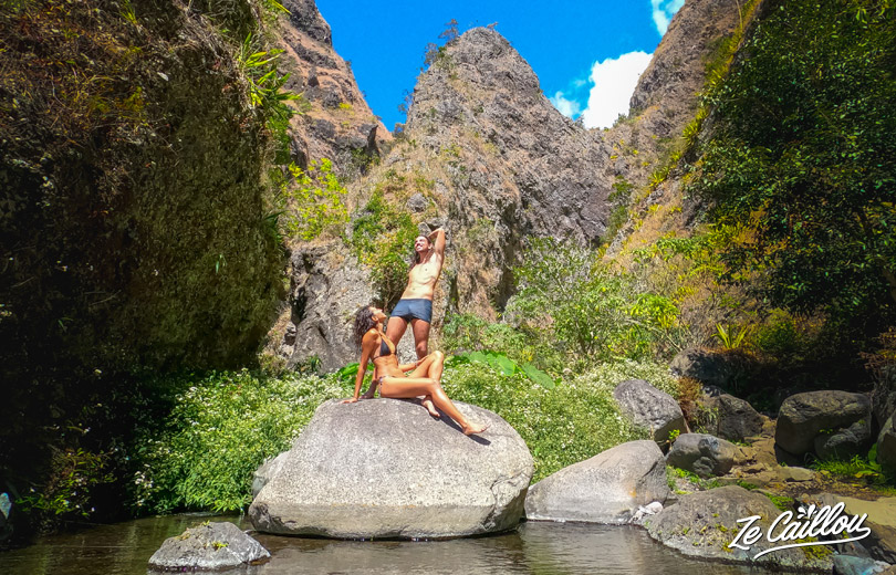
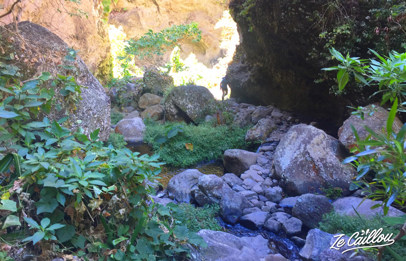
A friend joined us here to continue the day’s hike with us. Then the walk is done a little more in the shade and passes close to a stream.
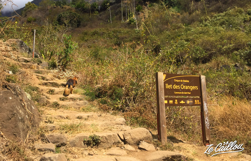
When we arrive at Ilet des Orangers, we take the right to avoid the village and continue towards Orangers les Hauts.
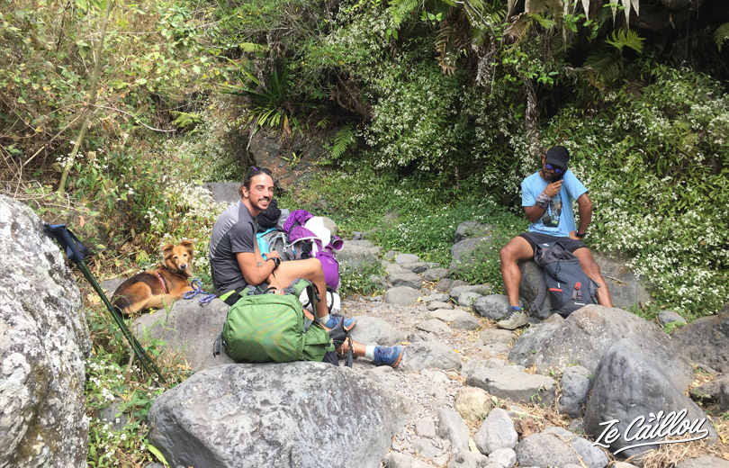
We pass in front of a shop on the right and continue towards La Brèche. On the way there is water flowing from the mountain on the right. We take our lunch break here and drink directly from the source!
3/3) La Brèche > Roche Plate
For your information, since the Maïdo fire, we can no longer take La Brèche path from the Maïdo. A priori we can still cross the Roche Plate village even if most of the inhabitants had to leave and the village school to close.
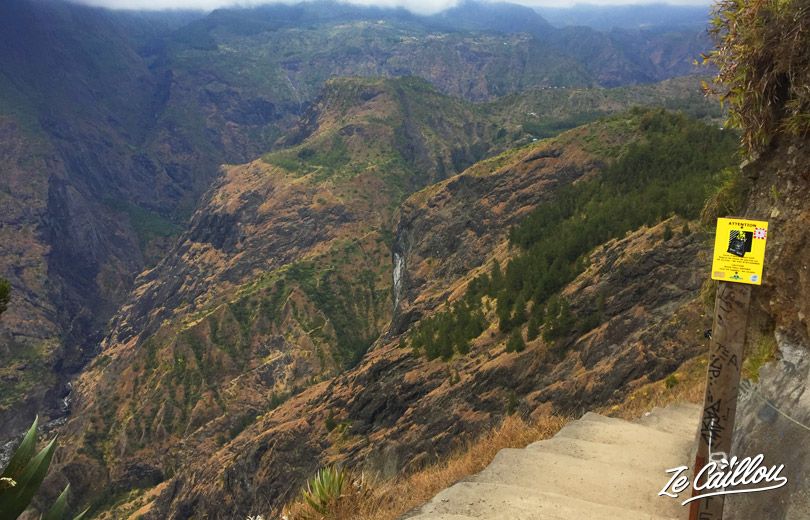
From La Brèche to Roche Plate, the path is pleasant, without elevation gain and without difficulty . We stopped a little before the village, but it takes about 30/45 mins to get to the village from La Brèche.
- Water: Yes, in Roche-Plate village, behind the information panel close to the school.
- Food supplies: You should check … Before the fire, yes, there is a small shop and the gites offer drinks and snacks. Even some take away dishes at Judex gite for example (and € 3 a beer).
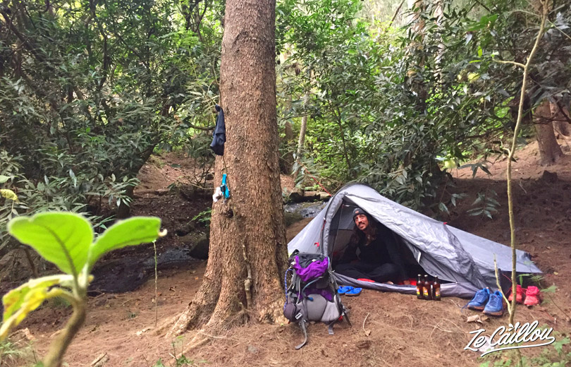
- Bivouac possible & nbsp; : Yes. Altitude: 1,100 meters. A little before the village on the left near the stream (1 tent) or a little after the junction for 3 Roches (2 tents max).
Conclusion of this GRR2 Day 4 – Cayenne>Roche Plate – trek and bivouac:
Nice stage. Not very long but with some high elevation. Totally ok if you take your time (and with a good physical condition). It is possible to stop in each village to fully enjoy it. Beautiful scenery all along the trail which is in good condition.
Next stage: Roche Plate > Marla

Be First to Comment